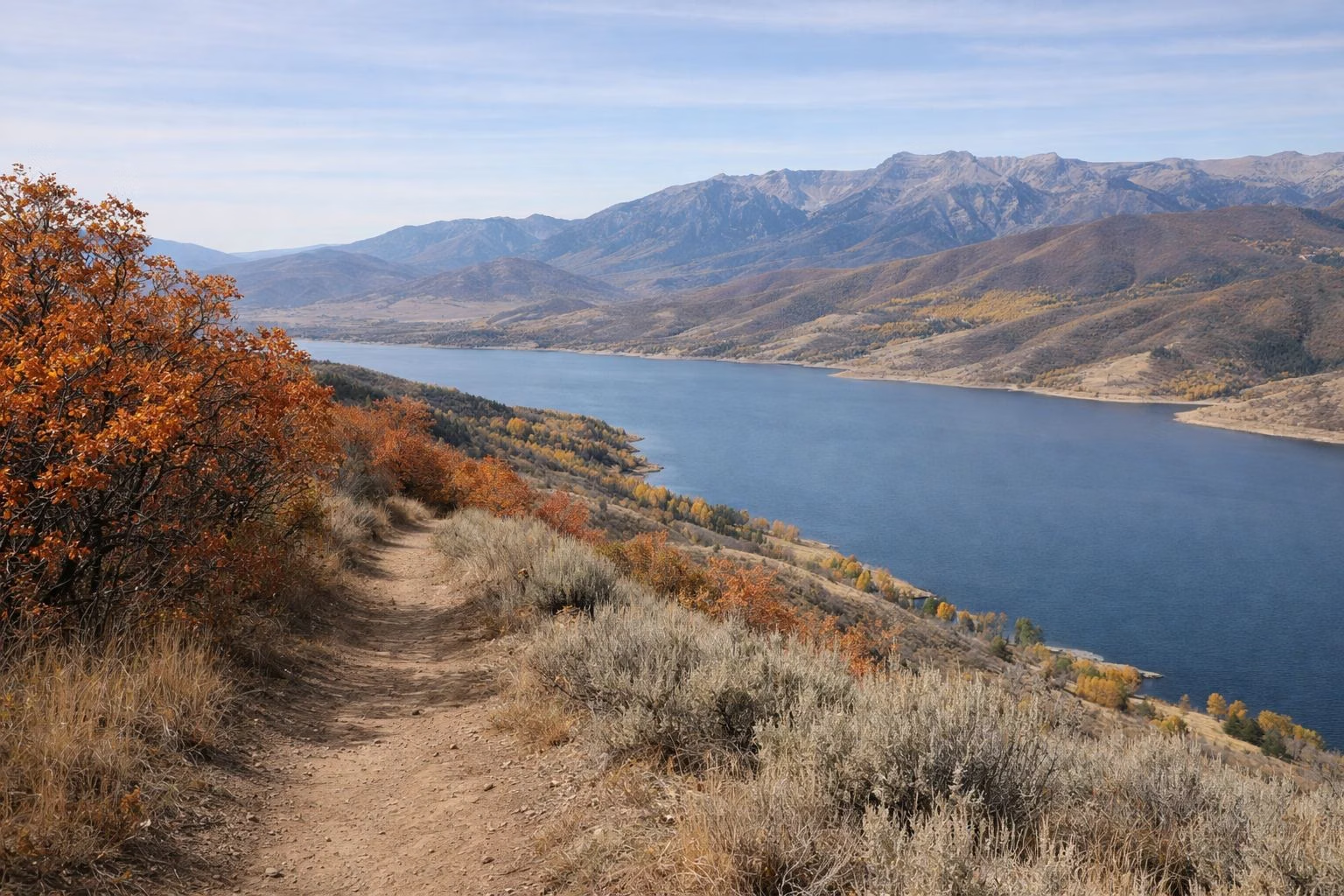
Trail Map
The official Jordanelle State Park trail map is in Utah State Parks' 2026 Jordanelle brochure, a free PDF under Downloads on the park page, and the park page also has an interactive map. It shows the 15.5-mile Perimeter Trail from Crandall Point near Hailstone through Ross Creek to Rock Cliff, the Wada Way (1.85-mile) and Keetley (1.69-mile) loops at Ross Creek, and the Three Rocks Trail at Rock Cliff, with each section marked easy, moderate or difficult. Download it before you go.
Trail Map at a Glance
The Trails on the Map
- Perimeter Trail: 15.5 miles one-way, Crandall Point/Hailstone to Rock Cliff via Ross Creek. Hiking, biking, horses, Class 1 and 2 e-bikes (Hiking & Biking).
- Wada Way: 1.85-mile loop from the Ross Creek trailhead (Ross Creek).
- Keetley Loop: 1.69-mile loop from the Ross Creek trailhead.
- Three Rocks Trail: 0.7 mile round trip, 150 feet of climb, at Rock Cliff (Rock Cliff).
- Rock Cliff boardwalks: elevated walkways through the wetlands to the Provo River and the Nature Center.
How to Read the Map
The brochure map marks trailheads, boat ramps, the marina and campgrounds, and colors each trail section by difficulty: easy, moderate or difficult. Use it to pick an out-and-back section of the Perimeter Trail from the trailhead closest to you. The interactive map on the park page has a high-contrast version: click the green icon at the top right and choose "Grayscale Enhanced Contrast Map."
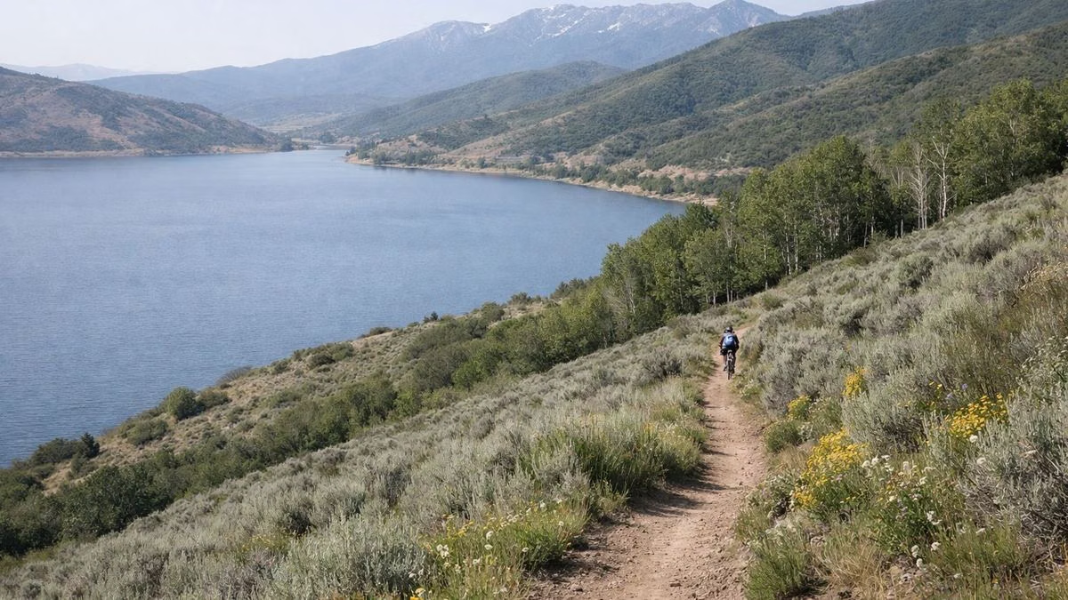
Which Trailhead to Use
- Want the beach or boats too? Start at Hailstone or Crandall Point, off US-40 (Hailstone).
- Riding horses or want a loop? Ross Creek, off SR-248, has hitching posts and the two short loops.
- Want a short walk and wildlife? Rock Cliff, off SR-32, has the boardwalks and Three Rocks.
Each area charges the day-use fee: $20 per vehicle from May through October, $10 from November through April (Hours & Fees).
Before You Go
- Download the brochure PDF before you go.
- All trails are non-motorized and shared. Stay on marked trails.
- Dogs must be on a leash (Rules).
Trail Map FAQ
Where can I get a Jordanelle State Park trail map?
Download Utah State Parks' 2026 Jordanelle brochure (PDF) from the Downloads section of the park page, or use the interactive map on the same page.
What trails are at Jordanelle State Park?
The 15.5-mile Perimeter Trail, the Wada Way (1.85 mi) and Keetley (1.69 mi) loops at Ross Creek, the 0.7-mile Three Rocks Trail and the Rock Cliff boardwalks.
Is the Jordanelle Perimeter Trail hard?
It varies. Utah State Parks' map marks each section easy, moderate or difficult, so you can choose a section that fits.